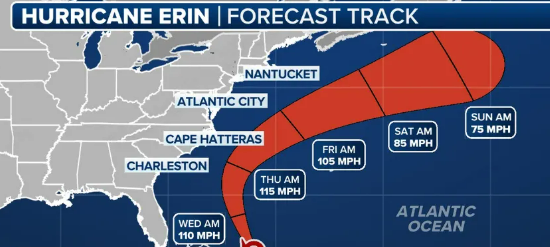
Counsellors Title Agency is closely monitoring Hurricane Erin as it impacts the New Jersey shoreline today, Thursday, August 21, 2025. While the center of the storm will remain offshore, its large size is already producing significant coastal hazards across Atlantic, Cape May, Monmouth, and Ocean Counties.
Key Impacts for the Shore Area:
-
High Surf & Rip Currents
Expect breaking waves of 7–12 feet and a very high risk of dangerous, life-threatening rip currents. Swimming is strongly discouraged for everyone, regardless of experience level. -
Coastal Flooding
Flood warnings are in effect, with the greatest risk during tonight’s high tide. Low-lying shoreline and tidal areas may see moderate to locally major flooding. -
Strong Winds
Sustained northeast winds of 25–35 mph with gusts up to 50 mph are expected. A Wind Advisory is in place for our coastal counties. -
Beach Erosion
The combination of high surf and strong winds is likely to cause significant beach erosion along barrier island communities.
Safety Guidance:
-
Avoid going into the ocean or walking along jetties, bulkheads, or seawalls.
-
Secure outdoor items that may blow around in strong winds.
-
Be prepared for localized flooding around roadways and shore points during evening high tide.
Counsellors Title Agency cares about the safety of our clients, partners, and community. Please take these warnings seriously and stay alert for updates from local officials and the National Weather Service.